Mount Takao is one of my favorite weekend getaways in Japan. It’s so convenient from the Tokyo area (50 minutes from Shinjuku Station on the Keio Line), and you have a great panoramic view of Mount Fuji on a clear day. But one of the major complaints I hear about the mountain is that the trails are too easy. Yes, that’s true if you take Trail 1, which is much like a paved road that takes you to the beer garden and Yakuoin Temple, but there are two other trails that start from the foot of the mountain that offer a more rugged path for experienced hikers.
My favorite of Mount Takao’s trails is Trail 6: Biwa Waterfall Trail. To find the trailhead, go left behind the cable car station for about 400 meters. You’ll begin to see housing and small shops on your left, and if you’re like me, you might begin to wonder if you have already passed the trail. However, when you start to approach apartment complexes, you’ll see the trailhead to your left. The trail is 3.3 km long and takes about 90 minutes to ascend and 70 minutes to descend.
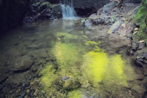
Biwa Waterfall Trail follows a small stream, which provides much cooler air for summer hikes. As the trail name suggests, there is a small waterfall you can see early on in the hike. It is nothing extraordinary like the falls in Nikko, but the scenery is beautiful nonetheless. Biwa Waterfall can be spotted after passing Iwayadaishi Cave. Legend has it that the great monk Kobo Daishi took shelter there during a rainstorm and cured a sick mother and her child.
In late August when I went, I saw the wilted remains of hundreds and hundreds of Hydrangeas. I can only image how decorated the mountain is during the rainy season of June. For the lack of Hydrangeas in August, spider webs took their place. If these eight legged creatures spook you out, no need to worry. If you stay on the trail, you won’t knock into any spiders patiently waiting on their webs. With the sun shining through the trees, the reflection of the light from the silk is mesmerizing.
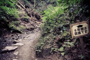
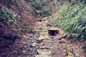
Further up, the trail splits. The signs are not in English at this point, so just follow the sign on the right that reads: 6号路は直進です. It means “The 6th Trail is straight ahead”. If there is a 6 on the sign, chances are that's the way you'd like to go. Taking the path on the left will lead you to Inariyama Trail. After this fork in the road, you will have the chance to hike through the shallow stream. If there has been a heavy rain, a path is available to skip from stone to stone. Be careful of the slippery rocks, especially if you are descending in this direction.
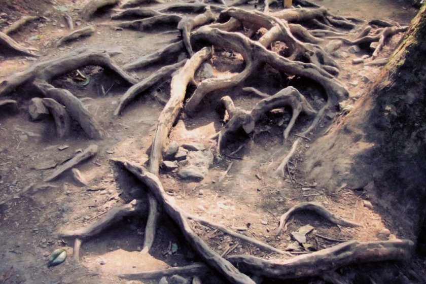
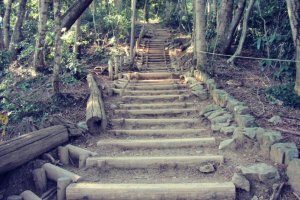
Once you’ve left the stream, the top of the mountain is not far ahead. Climb over the octopus-like roots of the trees and up steep stairs, then you've made it! Bask in your glory as you watch a beautiful view of Mount Fuji, rest in one of the picnic areas, and before you know it, it’s time to head down again. From the top, you have several options. You can take Trail 1 to go see the temple and make a stop at the beer garden, or you can take Inariyama Trail for a panoramic view on a ridge as you hike down. Trail 3 and Trail 4 are available for easier hikes down, and trails that lead to Mount Jimba and Mount Shiro provide an even longer hike.
